
WMS — Web Map Service
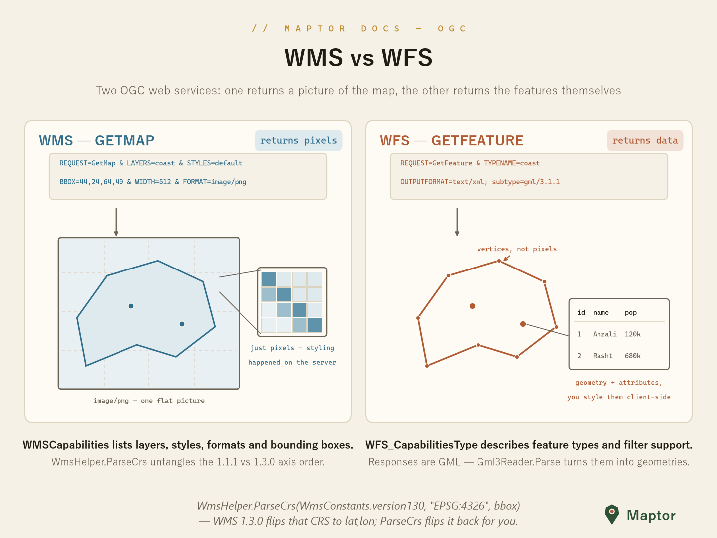
A WMS server renders the map for you: GetMap returns finished pixels (PNG/JPEG), styled server-side. The subtlety is versioning — WMS 1.1.1 and 1.3.0 disagree about axis order for some coordinate reference systems, and this folder (namespace IRI.Maptor.Core.Ogc.WMS) handles exactly that plus the typed capabilities model.
The capabilities model
WMSCapabilities is the typed shape of a GetCapabilities response: Service metadata, and a Capability holding the request formats and the nested Layer tree (each layer with its Name, Title, Styles and Boundingboxes).
using IRI.Maptor.Core.Ogc.WMS;

var root = capabilities.Capability.Layer;         // the layer tree
foreach (var layer in root.Layers)
    Console.WriteLine($"{layer.Name} — {layer.Title}");

var formats = capabilities.Capability.Request.GetMap.Format;   // e.g. image/png, image/jpeg
Versions and axis order
In WMS 1.3.0, EPSG:4326 means lat,lon — the BBOX is flipped relative to 1.1.1 (and to CRS:84). WmsHelper.ParseCrs reads a BBOX string under the right convention for the version/CRS pair and returns a normalized BoundingBox; WmsConstants carries the version and CRS identifiers.
var bbx = WmsHelper.ParseCrs(WmsConstants.version130, WmsConstants.Epsg4326,
                             "35.5,50.8,35.9,51.6");
// 1.3.0 + EPSG:4326 is lat,lon — ParseCrs swaps it back to x/y for you