
Geometry and algorithms
OGC geometries, Delaunay and Voronoi, convex hull, simplification, KdTree and RTree indexes, graph algorithms, spatial machine learning.
Open-source spatial framework for .NET
Maptor is a set of .NET libraries for spatial data: an OGC geometry model with analysis algorithms, readers and writers for the common GIS formats, coordinate reference systems, database adapters, and a WPF map control with layers, symbology and tile basemaps.
dotnet add package IRI.Maptor.Core.SpatialCore spatial engine. Other packages follow the same IRI.Maptor.* naming.
OGC geometries, Delaunay and Voronoi, convex hull, simplification, KdTree and RTree indexes, graph algorithms, spatial machine learning.
Shapefile, GeoJSON, TopoJSON, KML, GPX, WKT/WKB, DXF, SVG, PDF export, GeoParquet, PMTiles, MBTiles, GeoPackage, and OGC services (WMS, WFS, GML, SLD).
SQL Server Spatial, PostgreSQL/PostGIS, SQLite, Esri Personal Geodatabase, EF Core spatial mapping.
An interactive MapViewer with layers, symbology, tile basemaps, markers, drawing and measuring tools, and a localization system covering 15 cultures with right-to-left support.
Dependencies flow downward: the WPF tier uses the infrastructure tier, which uses the UI-free core.
UI and presentation (net8.0-windows): the WPF MapViewer, MVVM infrastructure, layers and symbology, tile services, localization.
IRI.Maptor.InfrastructureInfrastructure and persistence adapters (net8.0): SQL Server, PostGIS, SQLite, EF Core, Personal GDB, web APIs, GDI+ raster.
IRI.Maptor.CoreCore libraries (netstandard2.1, UI-free): primitives, spatial engine and format I/O, reference systems, Shapefile, OGC, graphs, ML, PDF, security, persistence abstractions.
Every sample is one folder with its code, a README and a screenshot — from a 40-line map application to a gallery of WPF controls.
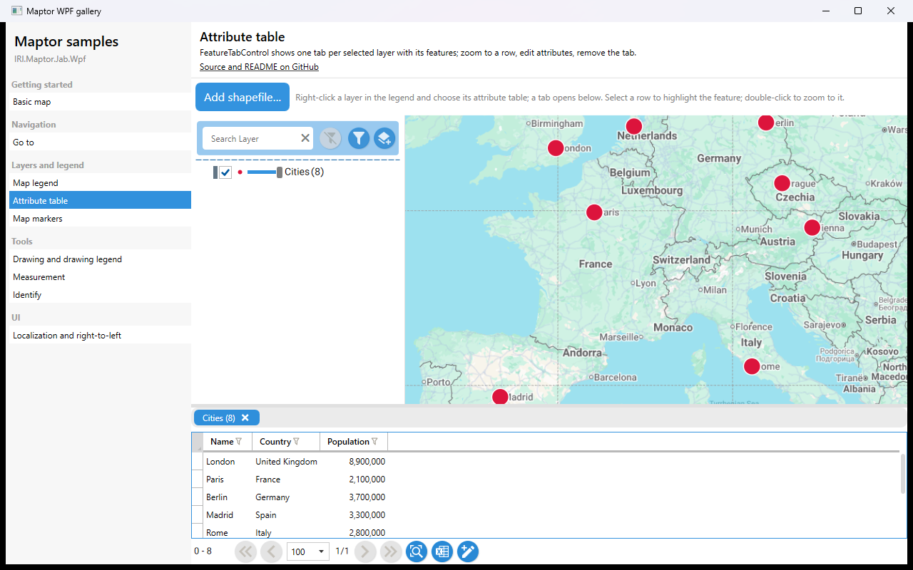
FeatureTabControl shows one tab per entry in the view model's SelectedLayers collection, each tab a grid of the layer's features. Selecting a row highlights the feature, double-click zooms to it. The sample opens the…
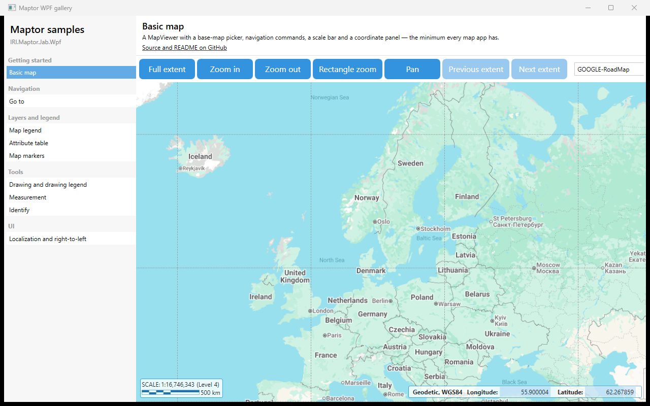
A MapViewer with the built-in navigation commands, a base-map picker, a scale bar and a coordinate panel — the minimum every map application has. The view model is an empty MapViewModelBase subclass; every button bind…
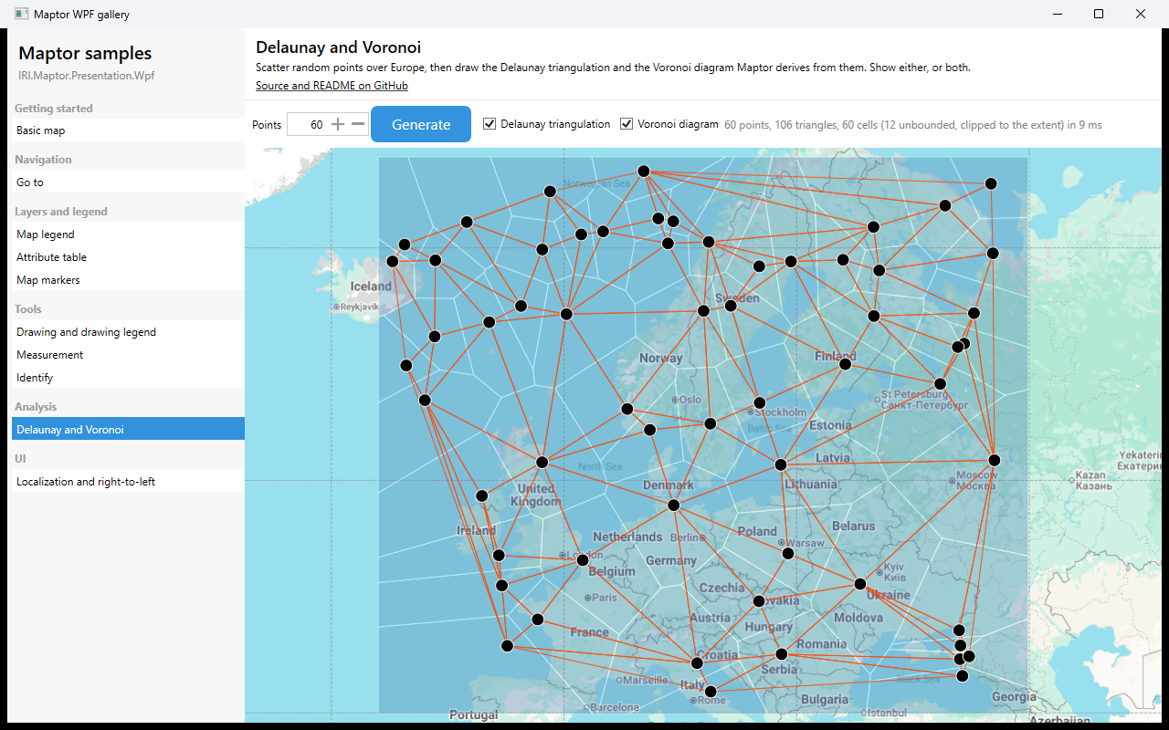
Pick a number of points, press Generate, and the sample scatters that many random points over Europe and draws the two structures Maptor derives from them: the Delaunay triangulation, and the Voronoi diagram that is i…