
WFS — Web Feature Service
Where WMS returns a picture of the map, WFS returns the features themselves — GML geometries with their attributes, styled by the client. This folder is the generated object model for WFS 1.1.0 capabilities and requests (namespace IRI.Maptor.Core.Ogc.WFS.v110); there is no HTTP client here — bring your own transport and deserialize the responses.
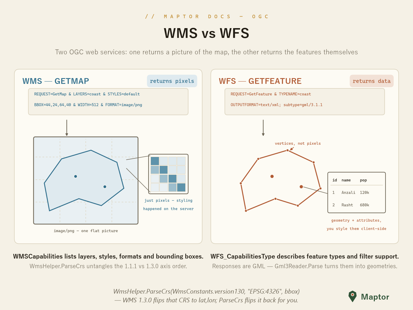
The capabilities model
WFS_CapabilitiesType is the typed shape of a GetCapabilities response: ServiceIdentification and ServiceProvider describe the server, FeatureTypeList enumerates what you can query, and Filter_Capabilities says which spatial/scalar operators its filters support.
using IRI.Maptor.Core.Ogc.WFS.v110;
using System.Xml.Serialization;

var serializer = new XmlSerializer(typeof(WFS_CapabilitiesType));
using var reader = System.Xml.XmlReader.Create("capabilities.xml");
var caps = (WFS_CapabilitiesType)serializer.Deserialize(reader);

foreach (var ft in caps.FeatureTypeList.FeatureType)
    Console.WriteLine($"{ft.Name} — {ft.Title}");   // e.g. "topp:states — USA states"
Each FeatureTypeType also carries its WGS84BoundingBox, supported OutputFormats and allowed Operations (Query, Insert, Update, …).
Requests and responses
GetCapabilitiesType (and the related request types) model the request side for building or binding request XML. The two companion pieces live next door:
- Responses — a
GetFeaturereply is GML: parse the member geometries withGml3Reader.Parsefrom ../GML/README.md. - Filters — the
<ogc:Filter>expressions inside a query come from the shared Filter Encoding model (OgcFilter,OgcBBOX,OgcPropertyIsEqualTo, …) in ../FilterEncoding.