
Samples
Small, self-contained programs that each show one thing. The code lives in the samples folder of the repository.
IRI.Maptor.Samples.Core
A cookbook for the UI-free Maptor libraries (IRI.Maptor.Core.). Every sample is one file with one [Sample]-attributed static method; Program.cs discovers them by reflection, lists them, and runs the one you name. Ther… →
Geodesy samples
Two small tables that every map developer ends up needing: how much ground a decimal place of a geographic coordinate covers, and how many metres a Web Mercator tile pixel covers at each zoom level.
GeoJSON vs Shapefile
Writes the same polygons as a GeoJSON file and as a Shapefile (.shp + .shx) and prints the sizes. The answer depends on the coordinates, so the sample uses two generated data sets:
Graph algorithms
A tour of IRI.Maptor.Core.Graph on a few tiny graphs: build an adjacency list, then run the classic algorithms on it. Node keys can be any comparable type; weights any IComparable.
IRI.Maptor.Samples.Wpf.Gallery
One window, one page per IRI.Maptor.Presentation.Wpf feature. The navigation list on the left is built from Shell/SampleCatalog.cs; each page is a UserControl in its own folder under Samples/, with a README that expla… →
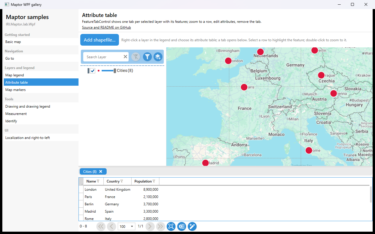
Attribute table
FeatureTabControl shows one tab per entry in the view model's SelectedLayers collection, each tab a grid of the layer's features. Selecting a row highlights the feature, double-click zooms to it. The sample opens the…
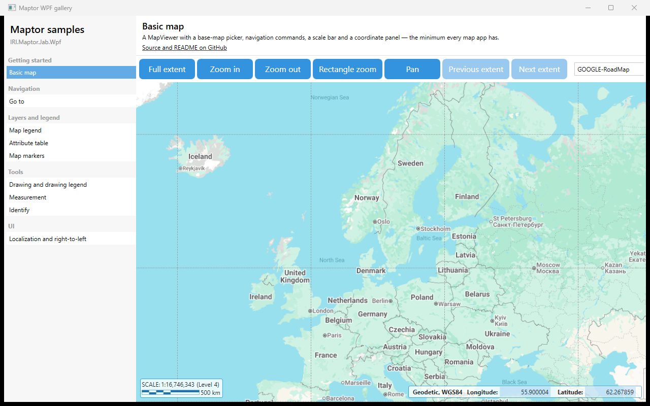
Basic map
A MapViewer with the built-in navigation commands, a base-map picker, a scale bar and a coordinate panel — the minimum every map application has. The view model is an empty MapViewModelBase subclass; every button bind…
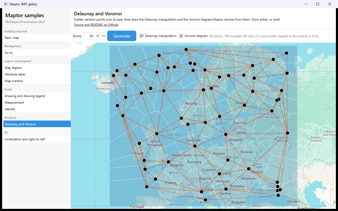
Delaunay and Voronoi
Pick a number of points, press Generate, and the sample scatters that many random points over Europe and draws the two structures Maptor derives from them: the Delaunay triangulation, and the Voronoi diagram that is i…
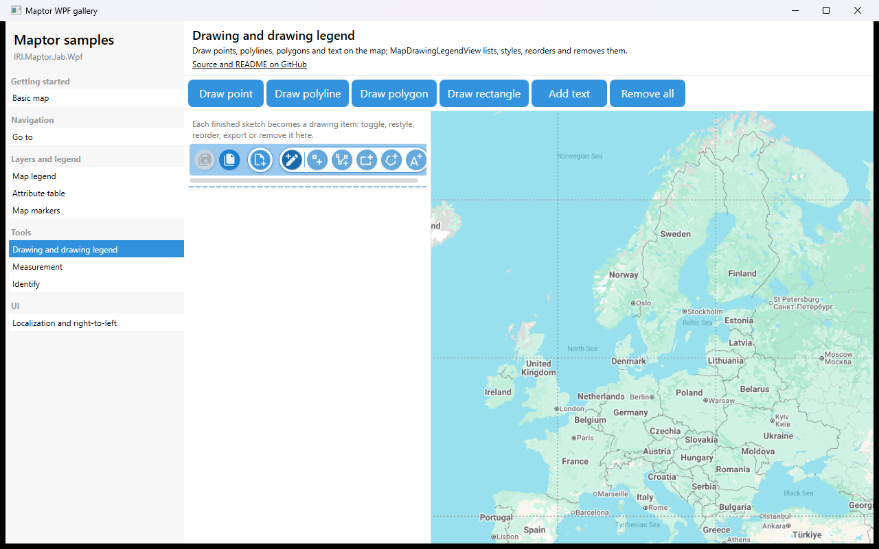
Drawing and drawing legend
Draw points, polylines, polygons, rectangles and text on the map. Each finished sketch becomes a drawing item; MapDrawingLegendView lists them and lets the user toggle, restyle, reorder, export or remove them. SketchB…
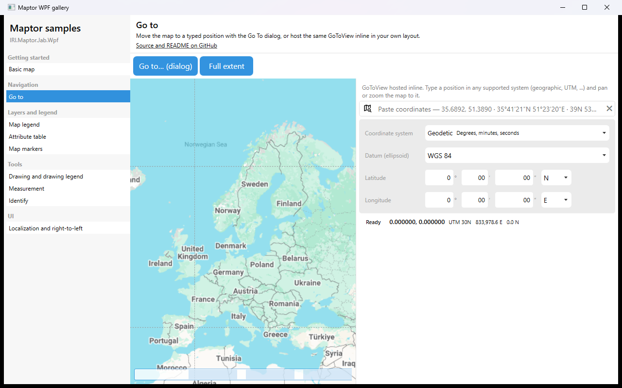
Go to
Move the map to a typed position. The Go to… (dialog) button runs GoToCommand, which opens GoToMetroWindow through the default action wired by MapInitializationHelper. The panel on the right hosts the same GoToView…
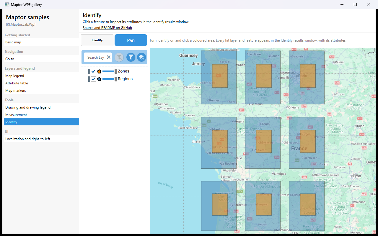
Identify
Turn Identify on and click a feature: every layer hit at that point, and every feature in it, appears in the modeless Identify results window with its attributes. The sample adds two overlapping polygon layers so that…
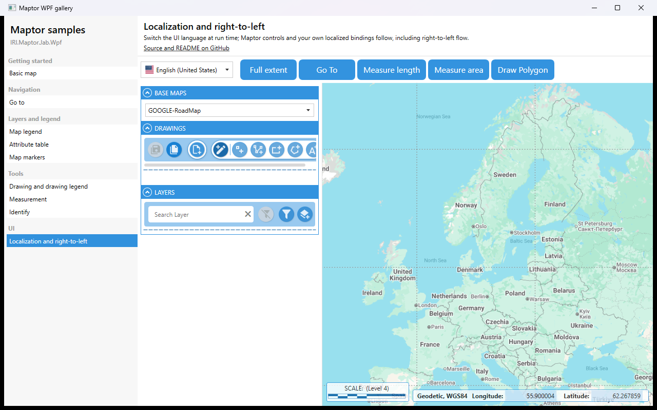
Localization and right-to-left
Switch the UI language at run time. LocalizationManager is a process-wide singleton: the Maptor controls read their strings from it, and your own XAML can bind to its indexer. Right-to-left cultures (Persian, Arabic,…
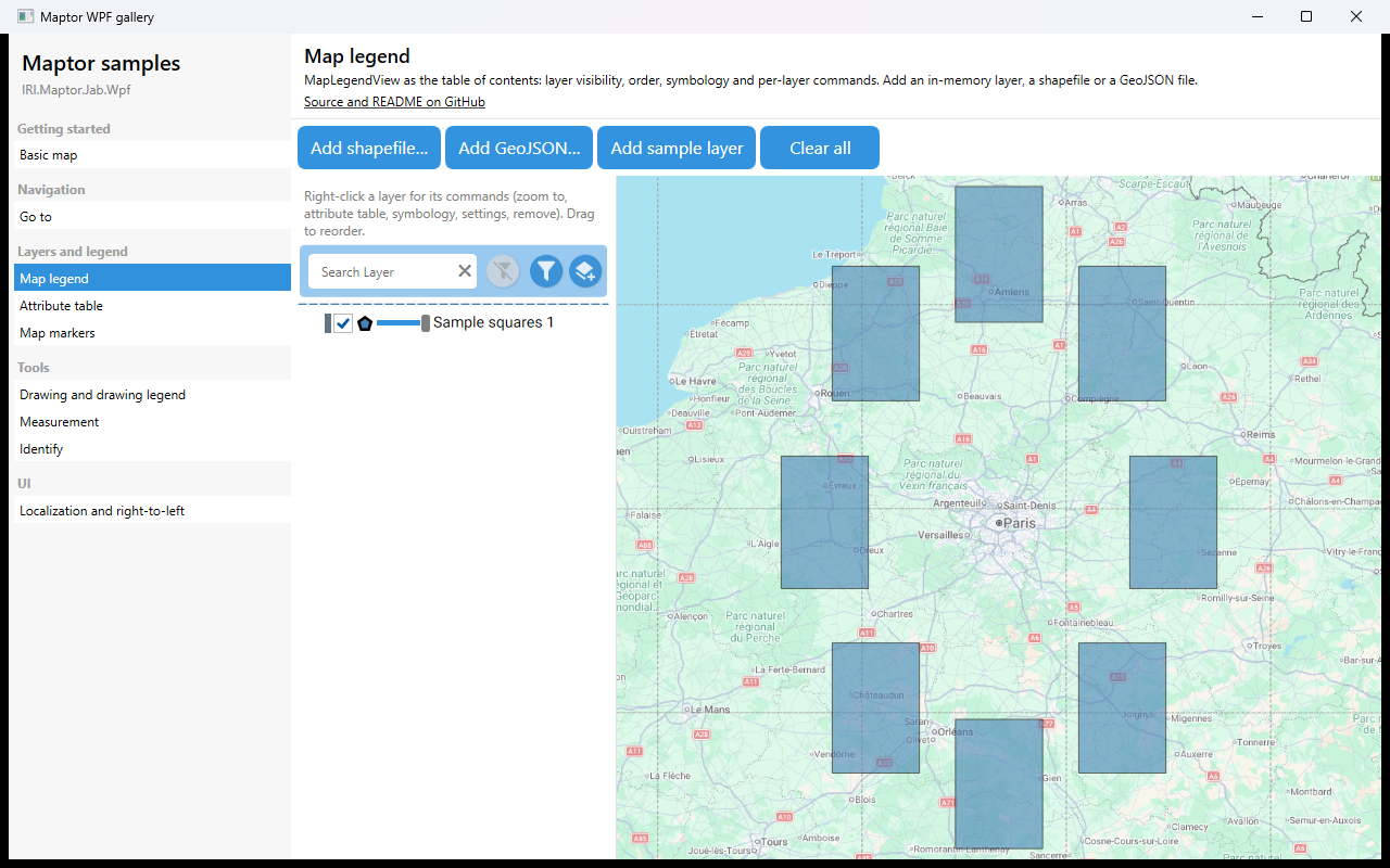
Map legend
MapLegendView is the table of contents: it lists the layers, toggles visibility, shows the symbology swatch and offers per-layer commands (zoom to, attribute table, symbology, settings, remove). The sample adds an in-…
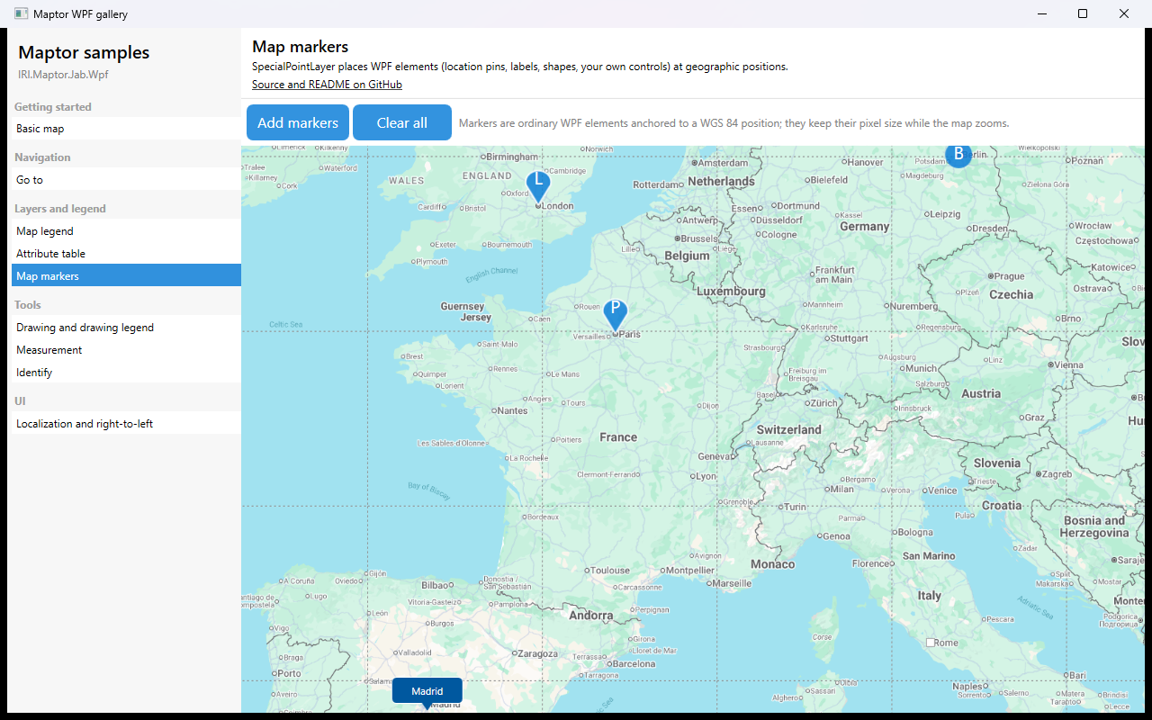
Map markers
SpecialPointLayer places ordinary WPF elements at geographic positions. A Locateable is a WGS 84 point, an anchor rule (which point of the element sits on the position) and any FrameworkElement; the built-in markers i…
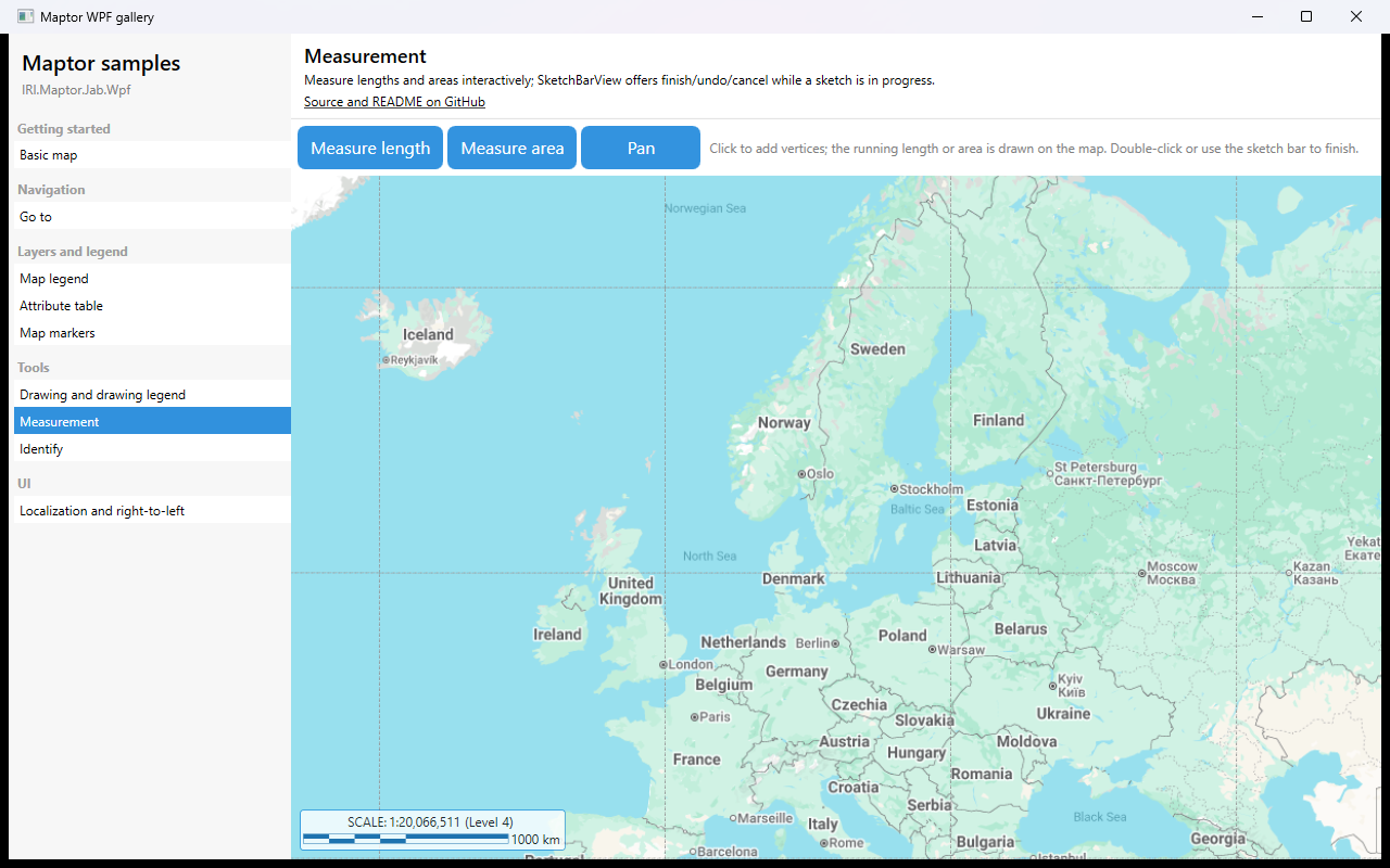
Measurement
Measure lengths and areas interactively. Click to add vertices; the running value is drawn on the map; double-click or use the sketch bar to finish. Pan leaves the measuring mode.
IRI.Maptor.Samples.Wpf.HelloMap
The smallest complete Maptor WPF application: a window with a MapViewer, a base-map picker, a scale bar and a coordinate panel. Read App.xaml and MainWindow.xaml.cs and you have seen the whole startup path of every Ma… →